Livestream my panel at Los Alamos National Lab's conference Wed (330-5pm Eastern)
And check out my pix from a day of playing tourist with LANL
Click HERE to register and to get hooked up for the livestream. It’s a lot of info to input but LANL needs it to metric their outreach efforts.
Based on the people I interacted with today in our LANL-sponsored tour, it should be a high-quality event.
Today was fun: we started at the old Fuller Lodge — the meeting/social center of the Manhattan Project during the making of the Bomb (you see filming there in the movie Oppenheimer) and then went to his actual house (still there and used for the film as well). So, basically a walking tour of the few buildings preserved from that era, as most of that space is now an expansive collection of strip malls.
I know, America.
Then we spent some time at the local science museum dedicated to telling the larger LANL story, which is an amazing story all its own.
Then a drive out to the Bandelier National Monument for hiking, which was FANTASTIC!
So, now to share some photos (because I’m too tired to pen something for tomorrow and I got to get ready for my panel presentation):
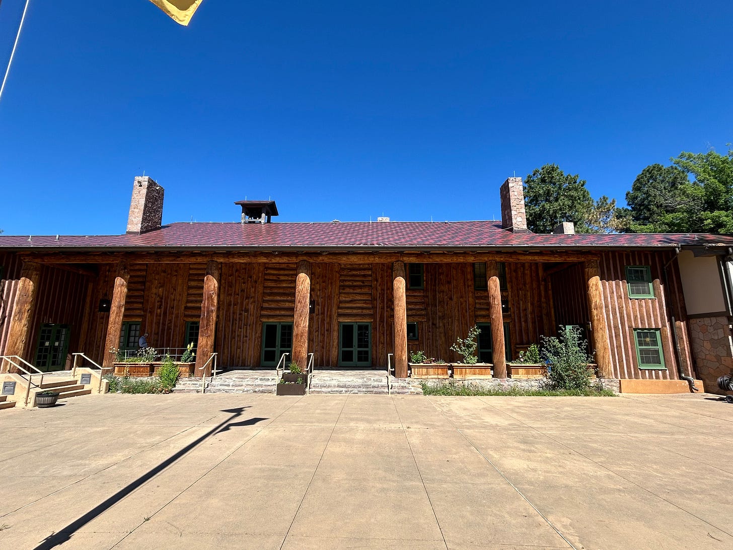
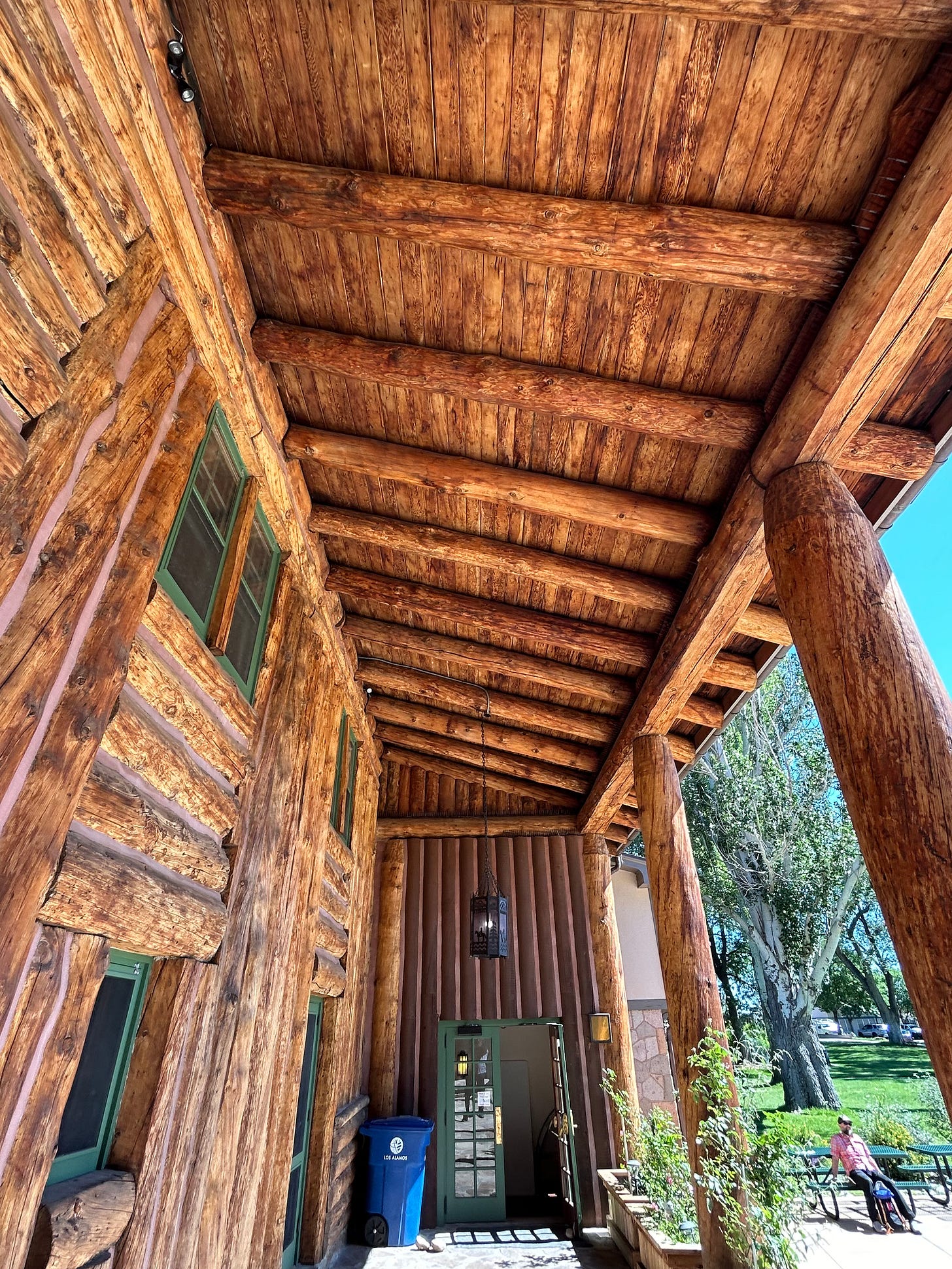
Inside of historic Fuller Lodge that started out as a main building of boys outdoor school there in 1920s and later became the social center of the Manhattan Project during the making of the bomb
Look it up: Christopher Nolan filmed a bunch of scenes in this great room & lodge (basically whenever the scientists were celebrating or meeting socially).
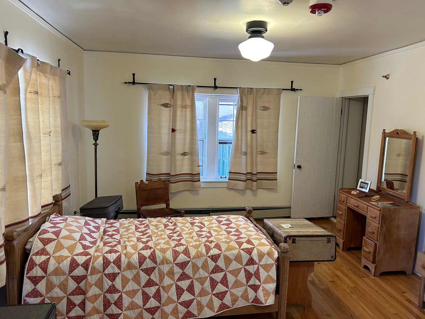
What it was like to stay there back in the day.
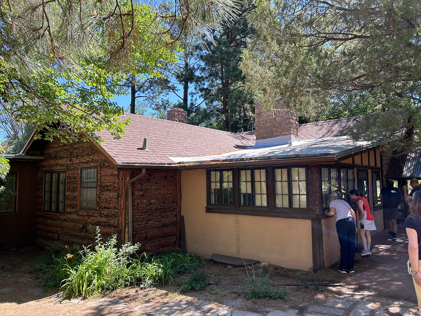
View of the original building from the back.
City street sign still carrying the name of the street from the days of the Project: these were the only cabins/homes that had actual bathtubs.
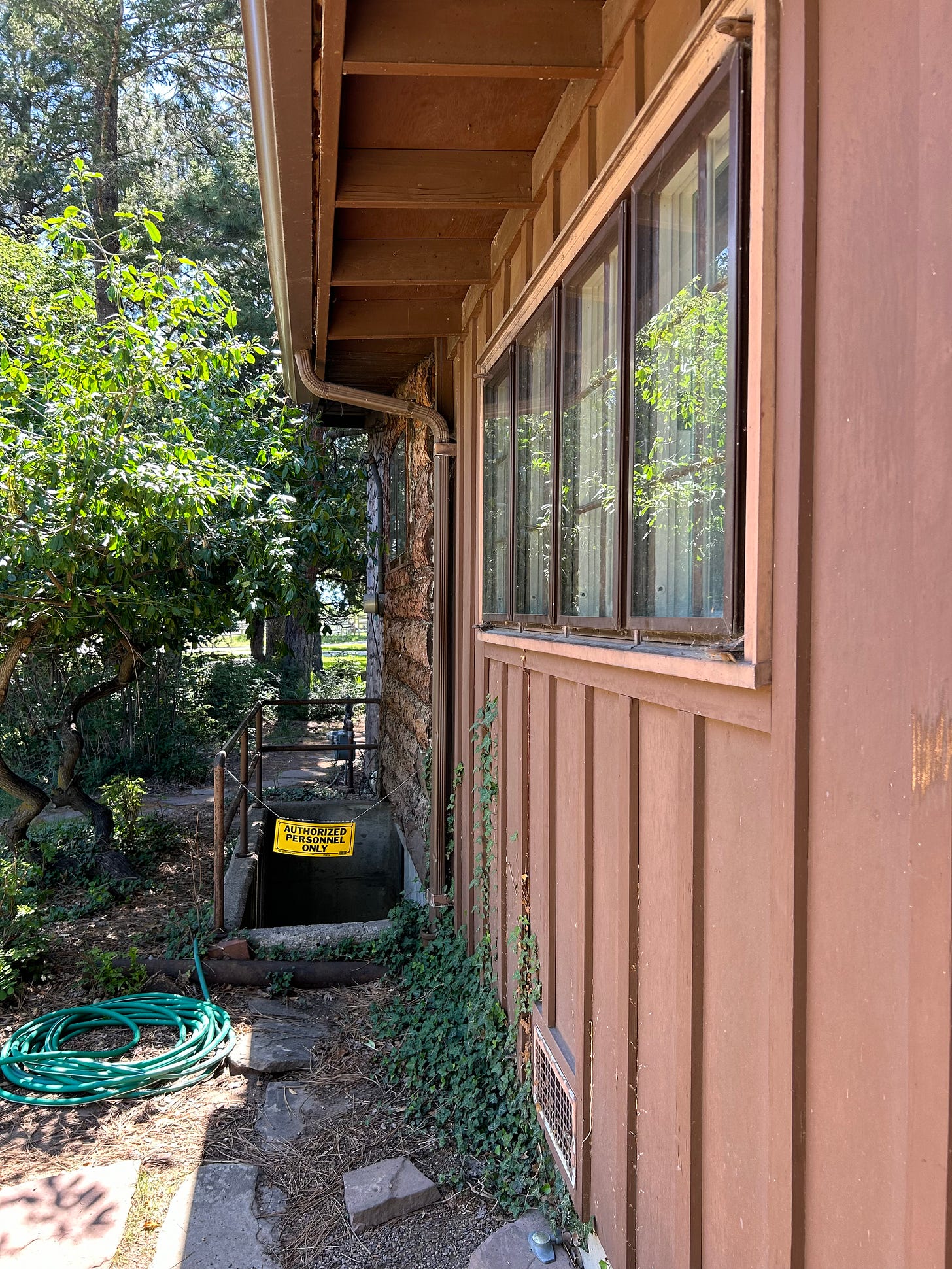
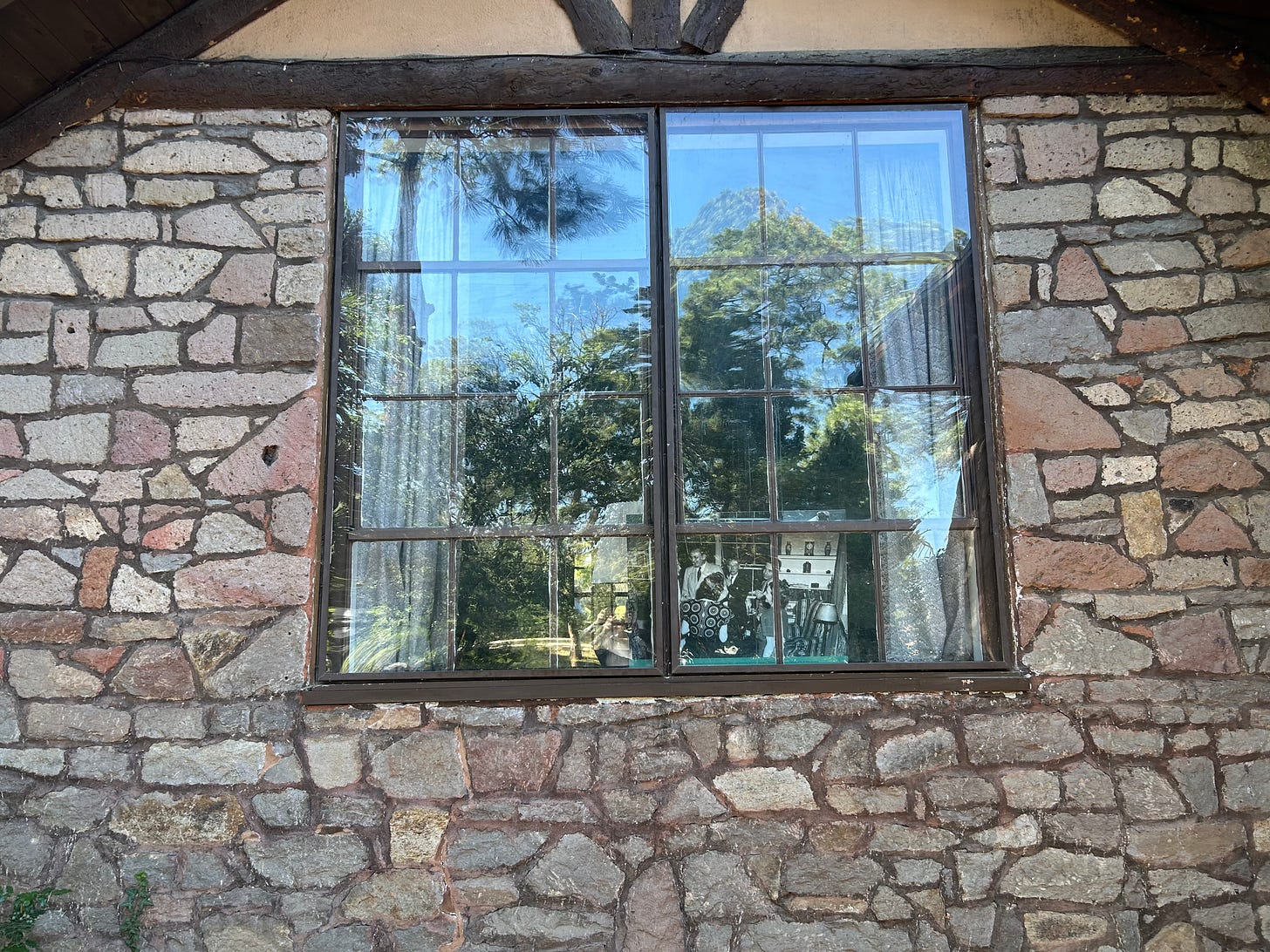
First of a bunch of shots of Oppenheimer’s home at the Project.
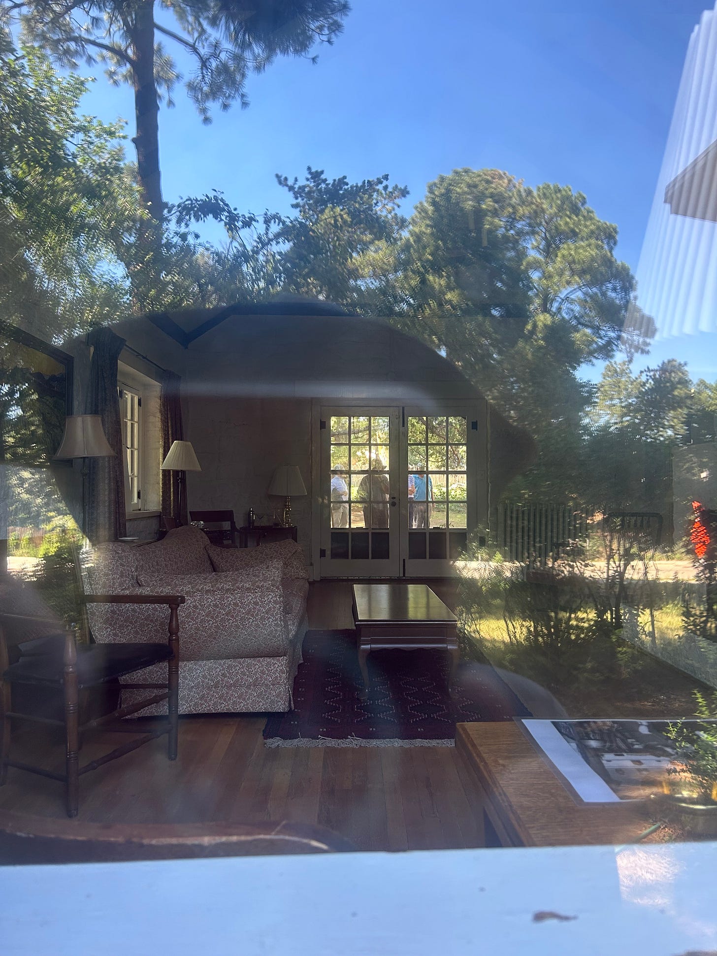
Nolan also filmed here extensively, leaving the period furniture inside.
The movie makes it seem like the house was a drive away from everything. It was not. More like 500 yards away from the lodge, which was the centerpiece of the living areas.
More Oppenheimer house shots:
t
This is the spot where Oppenheimer gets picked up by his driver and tells his wife Kitty the bit about she’ll get a coded message if the bomb worked (Bring in the sheets).
They hid all the modern background when they filmed, putting a lot of gravel and rocks over the landscape, I was told.
An example of the strips malls that now occupy most of the original spaces of the Project.
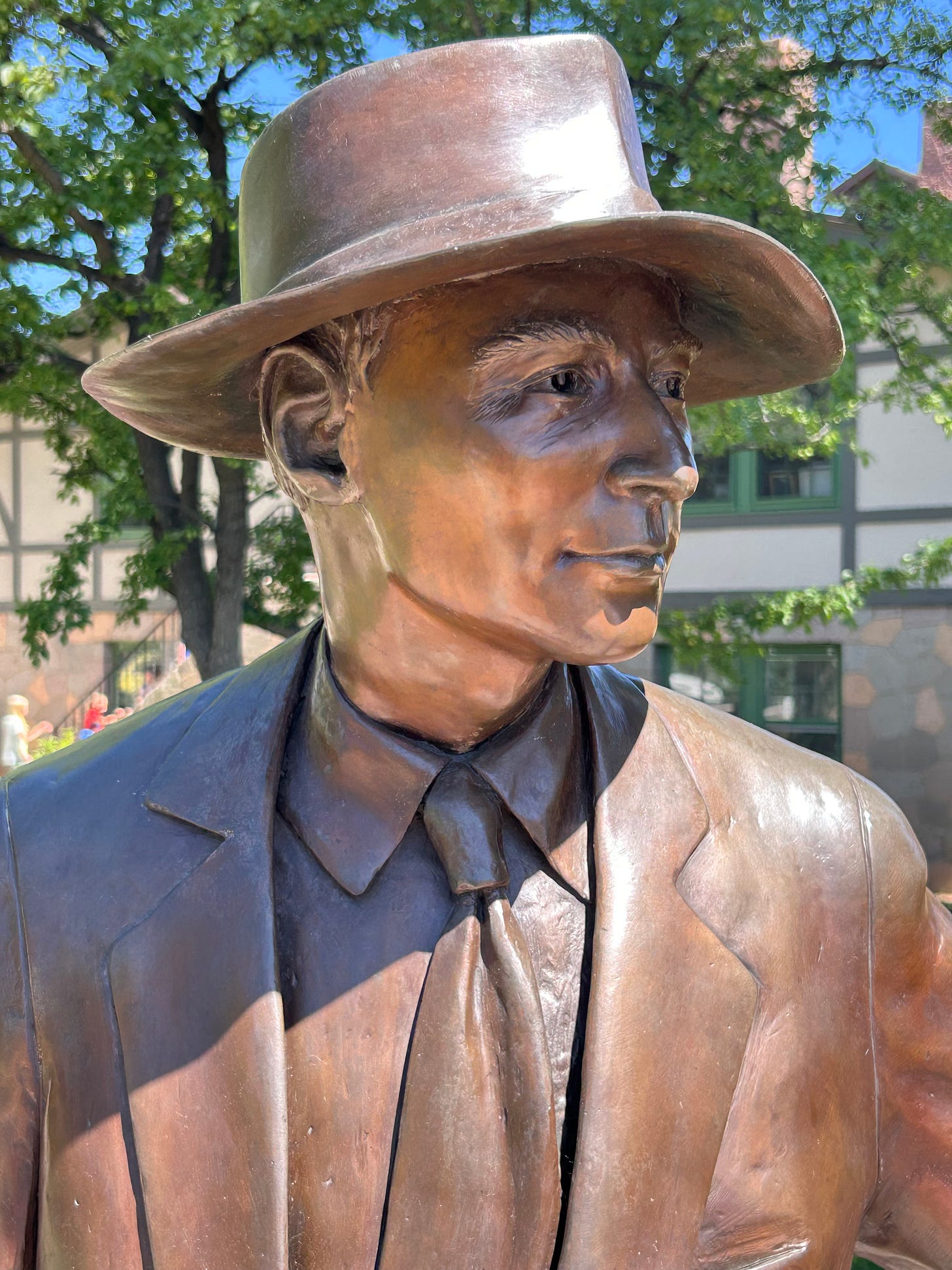
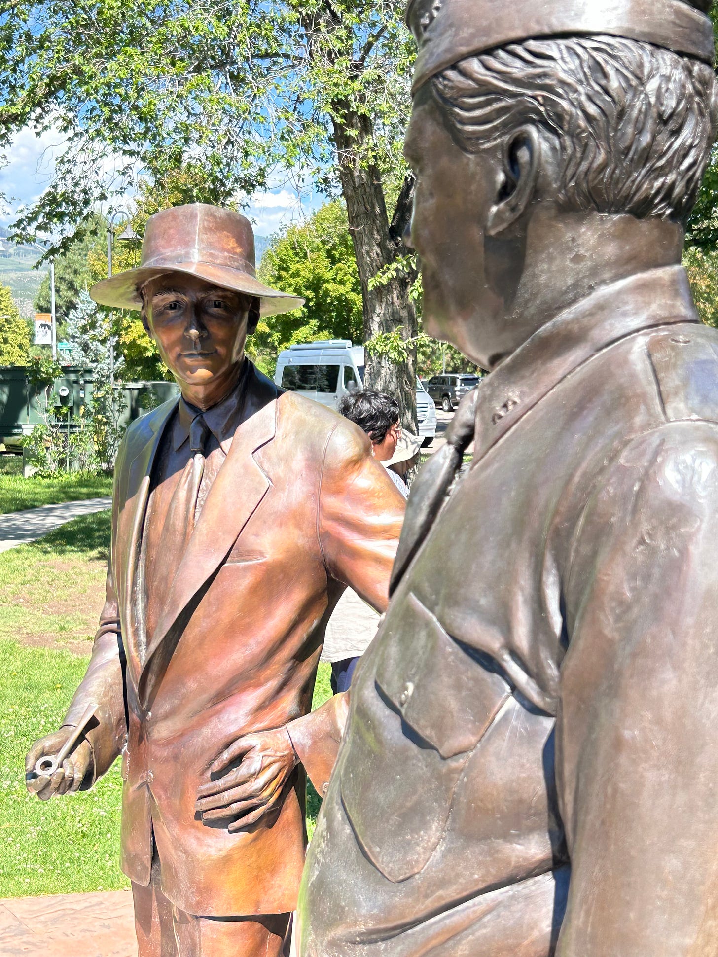
Outside the Lodge, Oppenheimer, obviously.
General Groves.
I am a sucker for statues.
Again, the view from the statues: If it weren't for the Lodge and a small collection of living quarters still preserved, there’s be no sense of the Project having even been here. So, thank God for the preservationists.
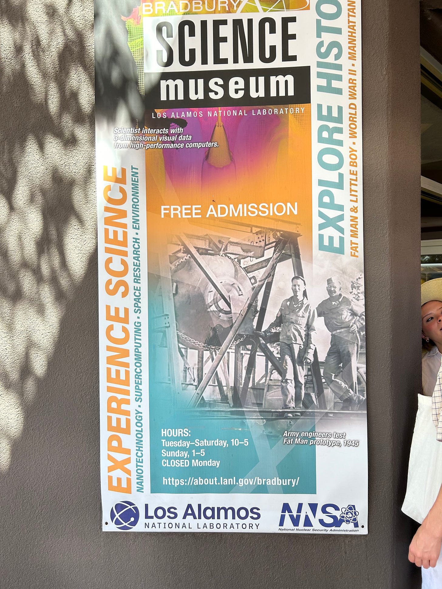
The town’s museum focused on the work done here.
Museum so named for longtime director who followed Oppenheimer from 1945 to 1970.
More realistic rendering of Groves inside the museum.
Ditto for Oppenheimer.
In the bus heading for Bandelier National Monument.
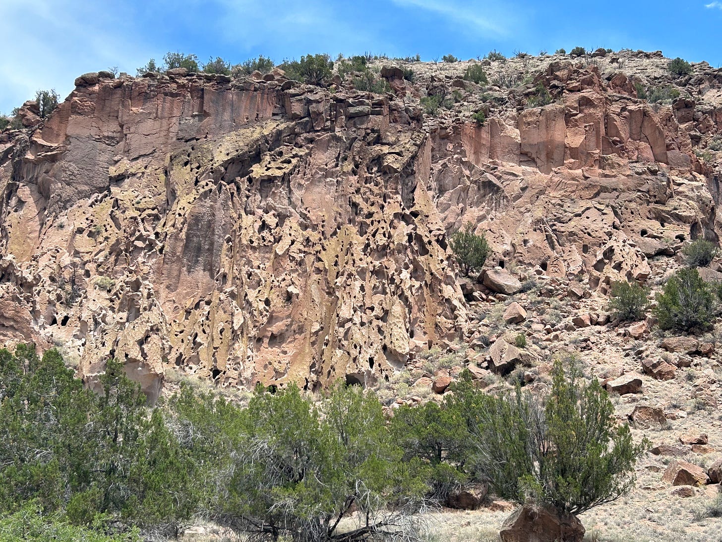
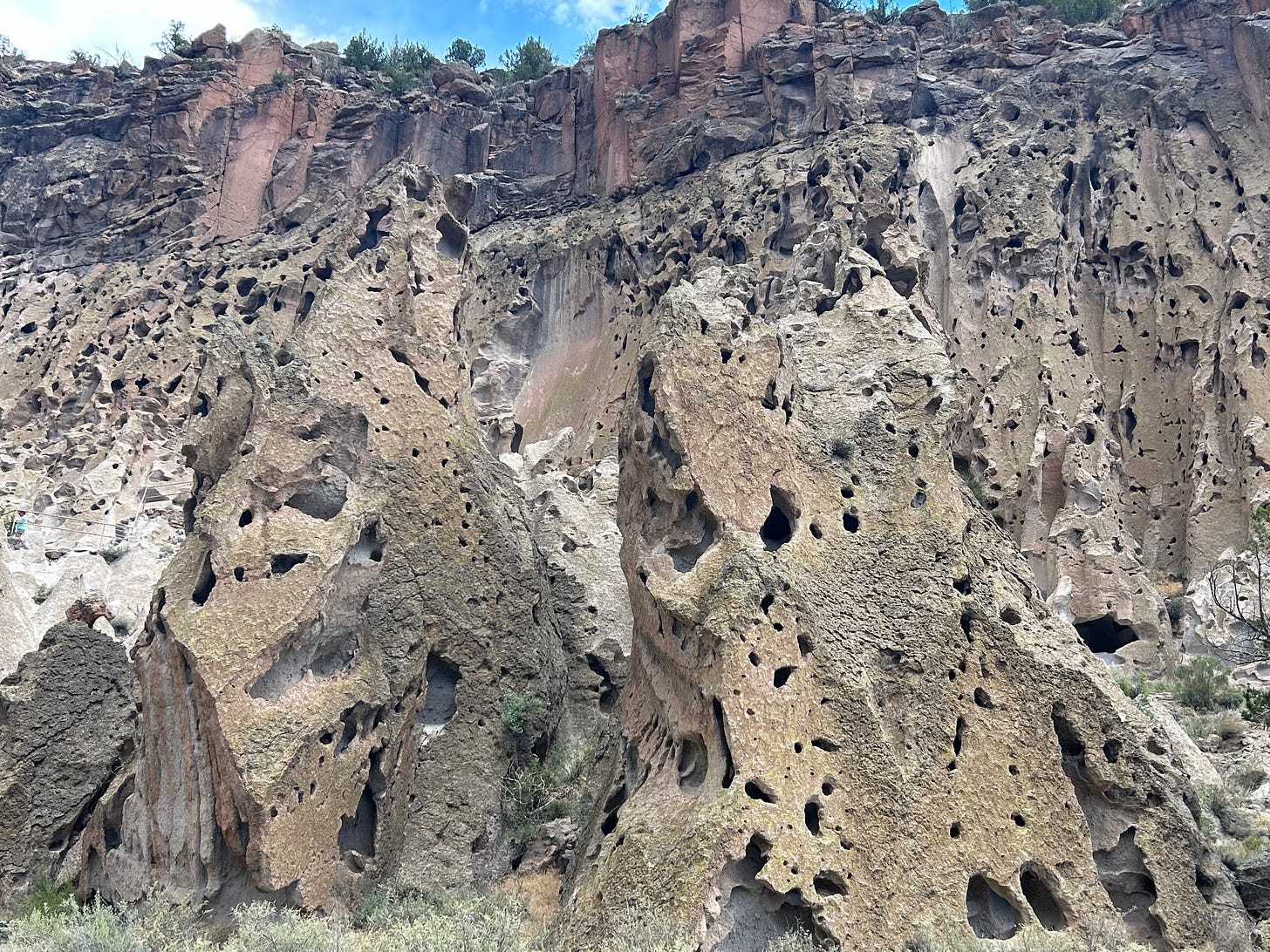
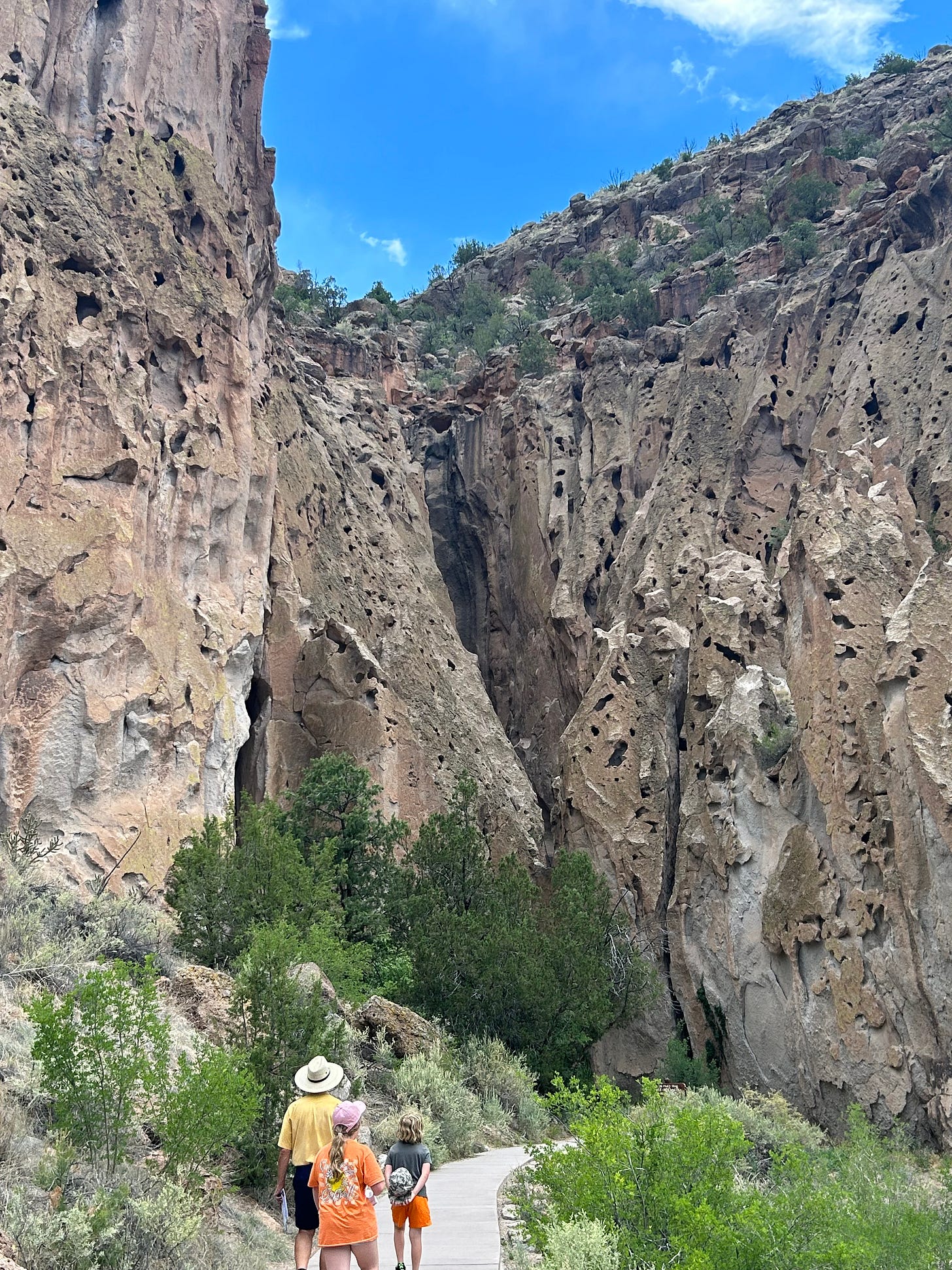
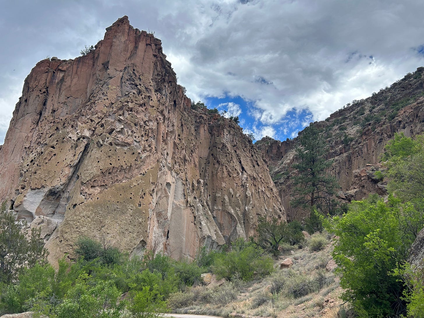
Hard to capture the scale of these very large canyons.
In the canyon that defines the monument, one side is sloped and the other side is sheared — like this. The stone is soft so easily carved or hollowed out by water, resulting in this weird combination of ruins defined by nature and the early Native Americans who chose to build their homes and live there as a community.
A sense of the sweep of the main portion of the cliffs.
From bottom to top it is about 3-400 feet in elevation.
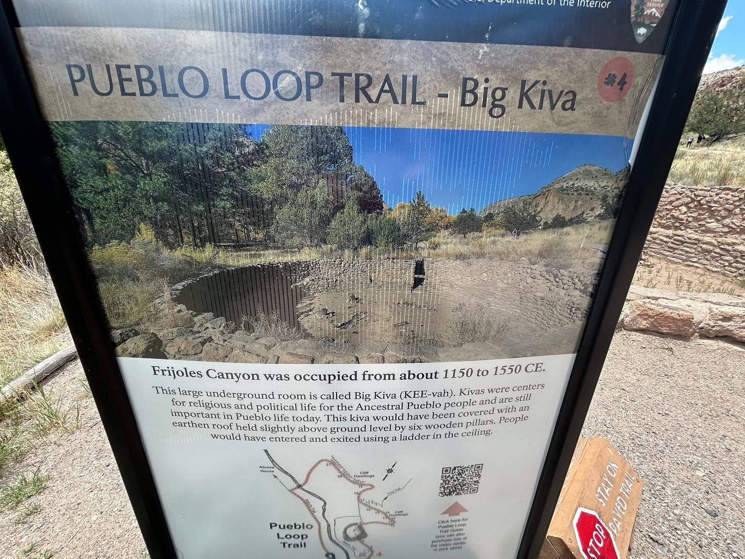
Underground building of Native Americans (Big Kiva)
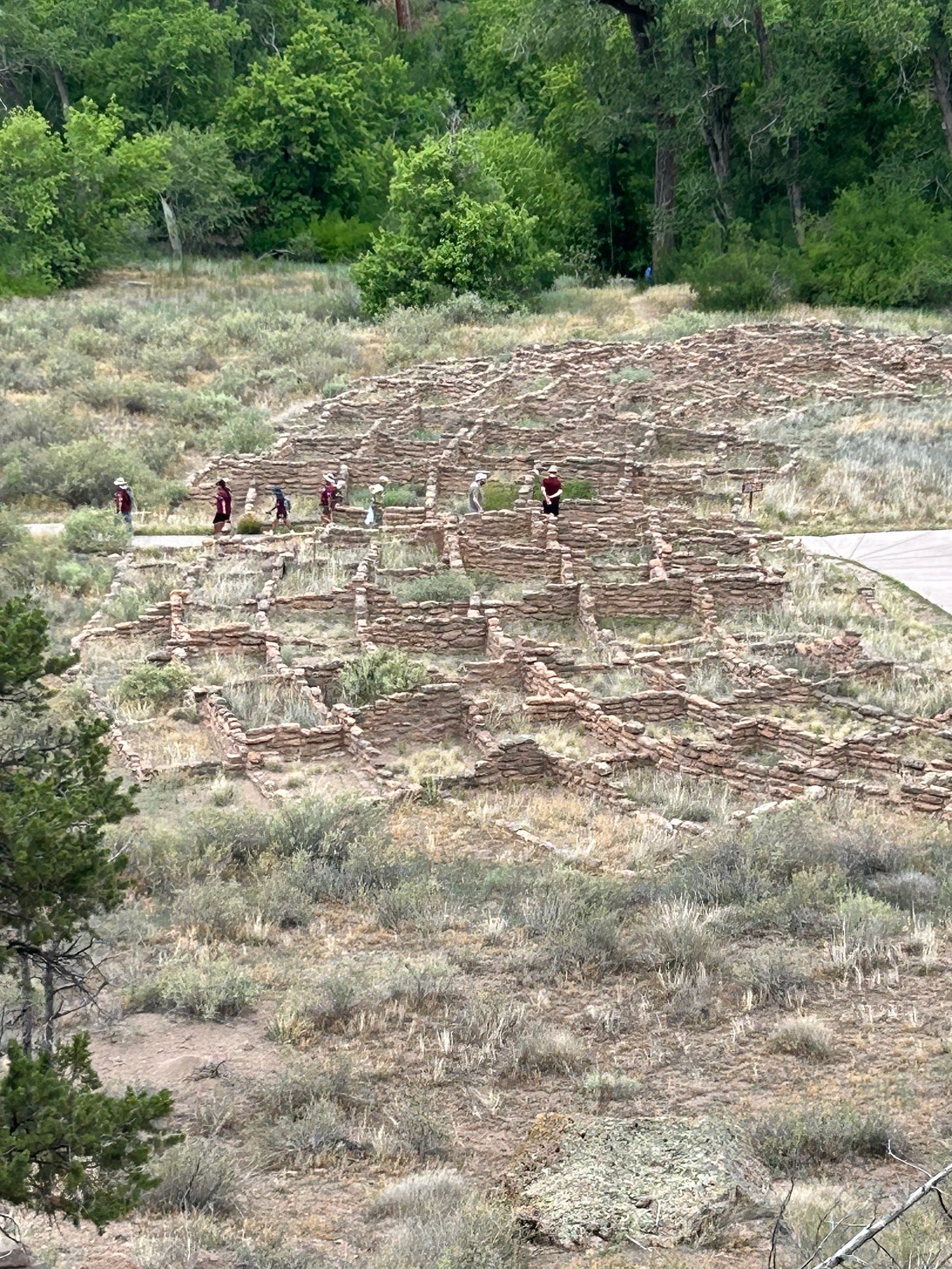
Remnants of buildings.
I start hiking up toward the ruins.
A look back down to the ruins from some height above.
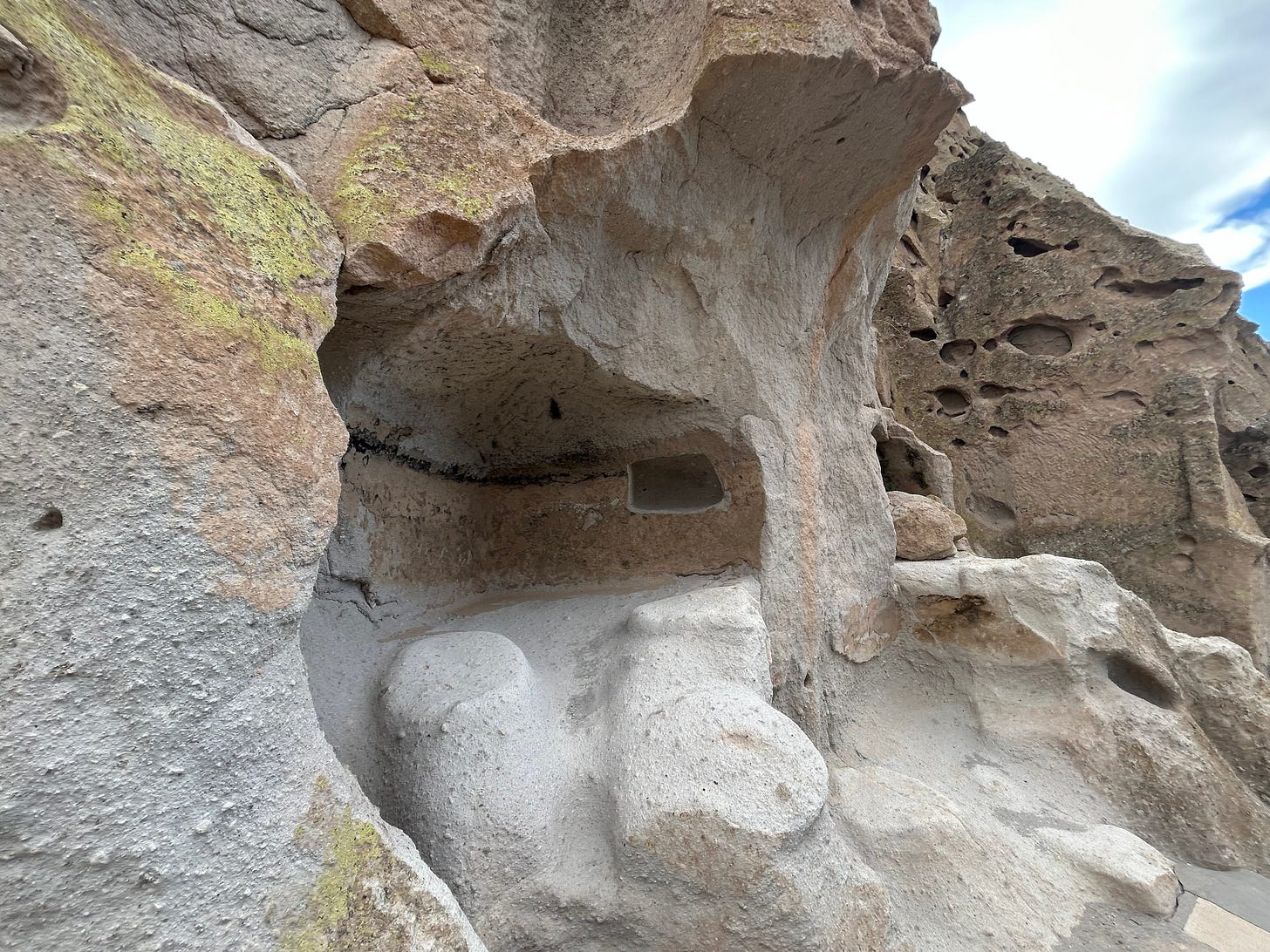
A recreated home. The beams are slotted into the cliff wall.
Frank Lloyd Wright must have loved this place.
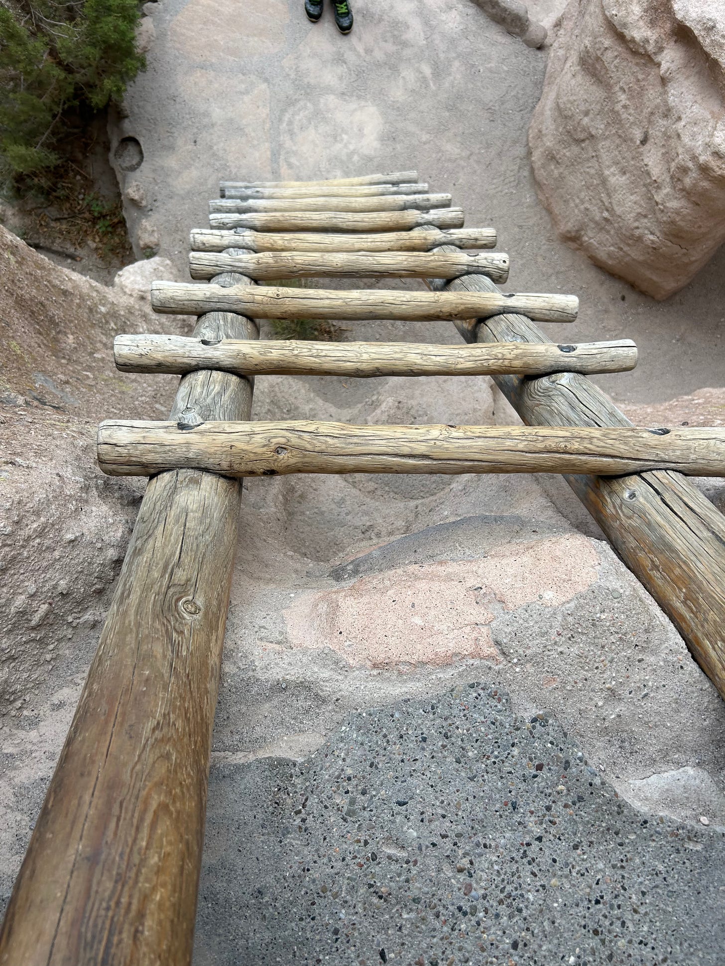
I climbed up a ladder into one of the residences.
Notice the hikers below in the distance for scale.
A sense of the trail throughout the ruins. Whenever you hear panting on the audio, understand this is at almost 7,000 feet elevation.
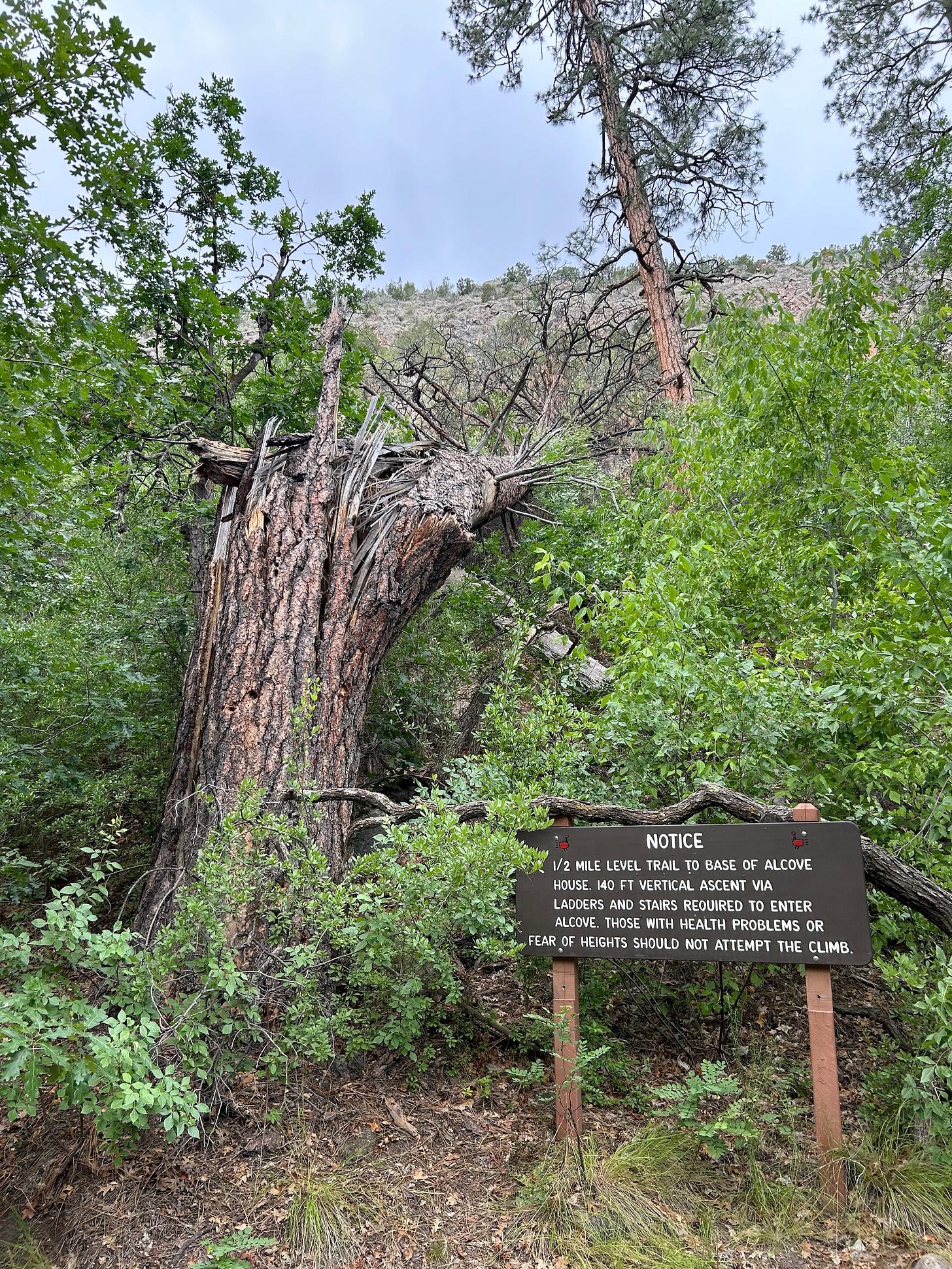
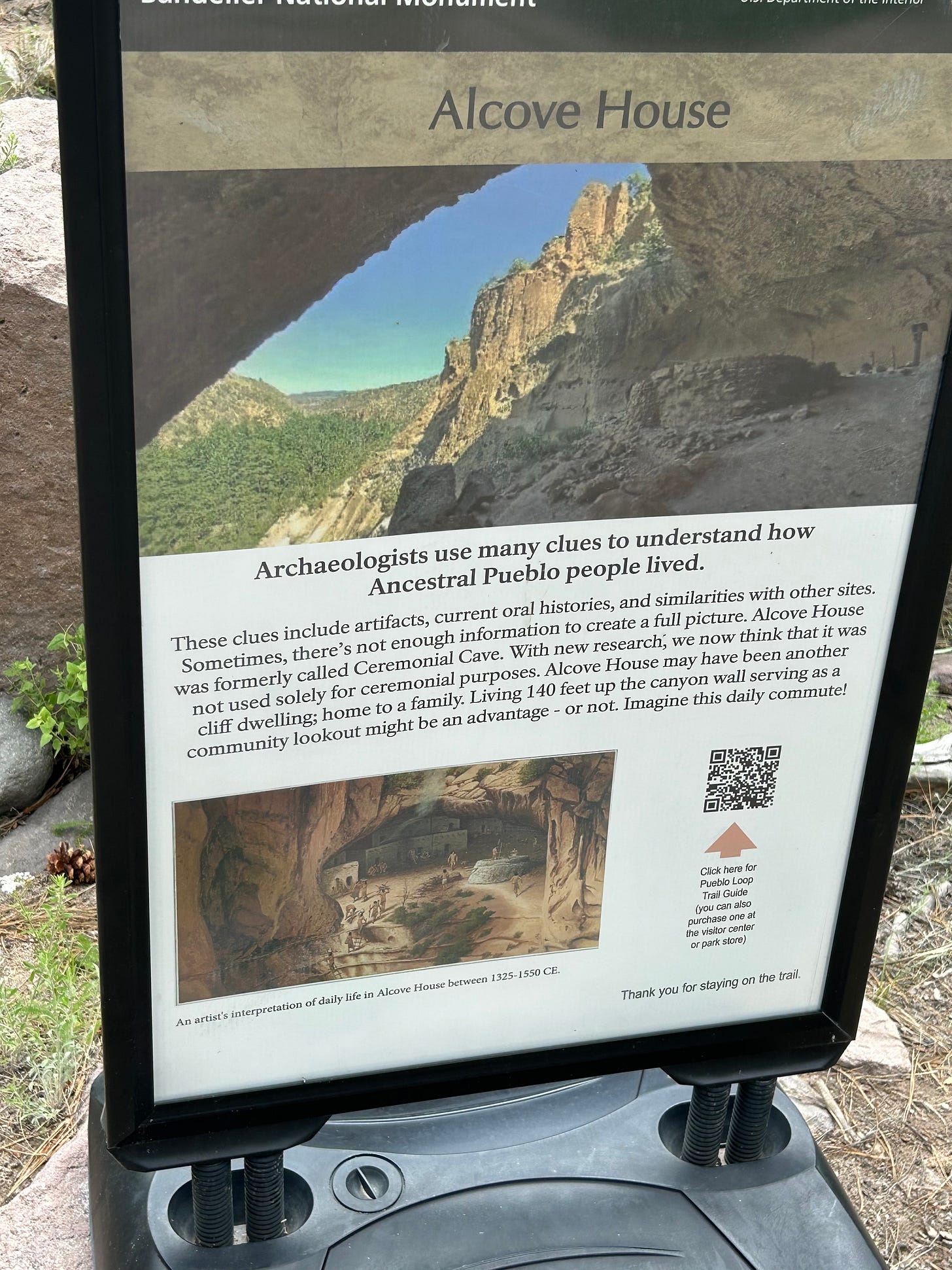
As soon as I heard about this really high residence, I knew I had to go.
En route.
Explanation.
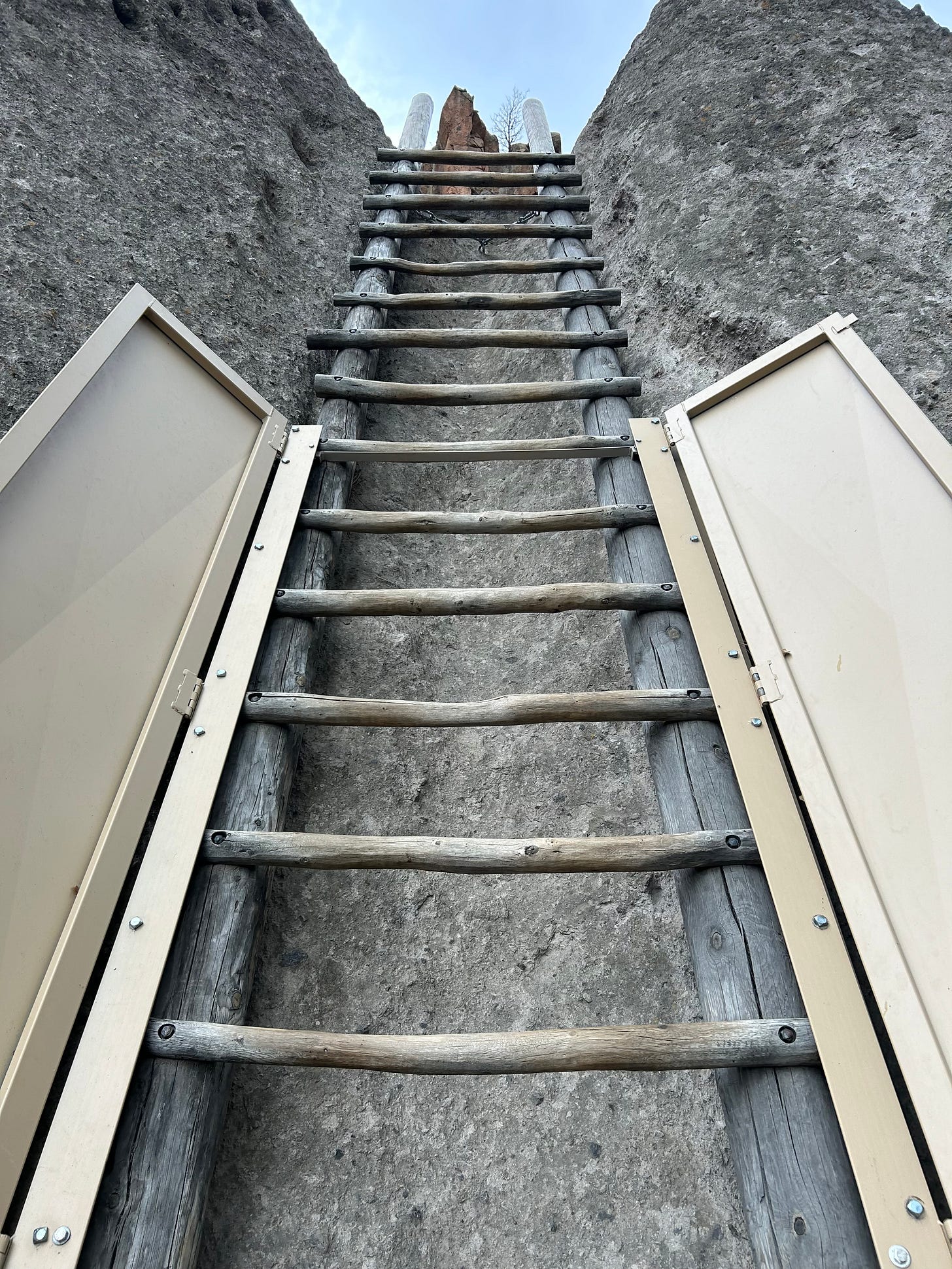
Ladders were pretty cool, but smooth to the touch so one had to be careful on grip.
I was really kind of stunned they had something like this.
Finally up in the big space.
This is the only structure still standing up in this large half-dome space about 150 feet above the canyon floor.
Heading back.
I found the Frey Trail: a switchback series up the ridge to a campground at the top, so basically a climb from the canyon floor to its top. Elevation rise about 400 feet.
Switchbacks were very cool.
Finally reached the top, but not much of a view of the hidden canyon.
On my way back down.
Overall, it ended up being about a 4-5 mile hike, which I thoroughly loved.


